Description
This trail allows you to safely enjoy the wild high mountain and feel the power of the elements.
Altitude climb + : 270 à 500 m
Outward walk : 3h à 4h30
Start : Le Désert-en-Valjouffrey
Difficulty : easy to difficult Map : Top 25 IGN 3336ETR Les 2 Alpes Trail map « Pays du Valbonnais »
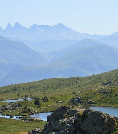
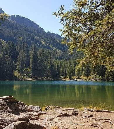
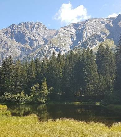
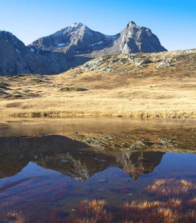
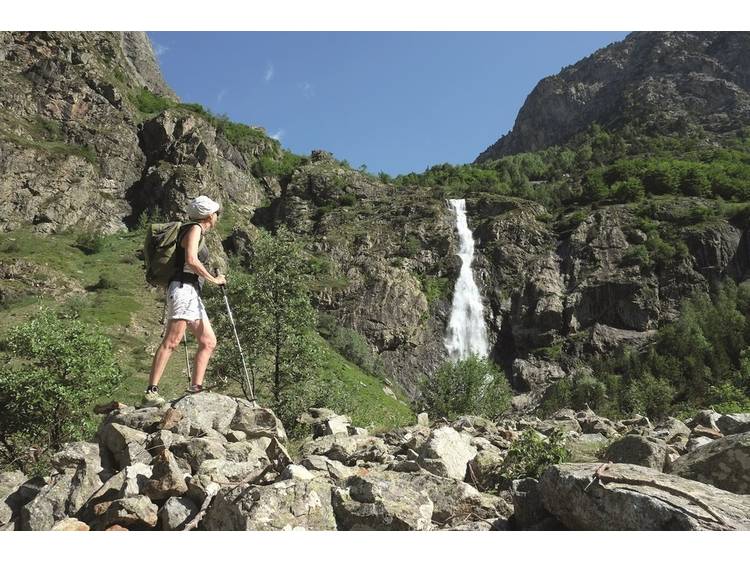
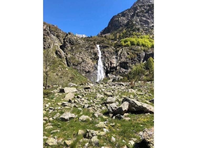
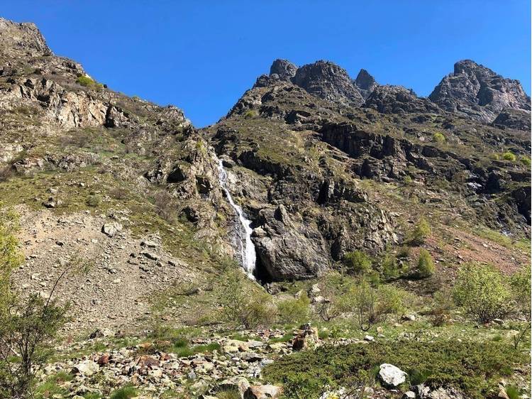
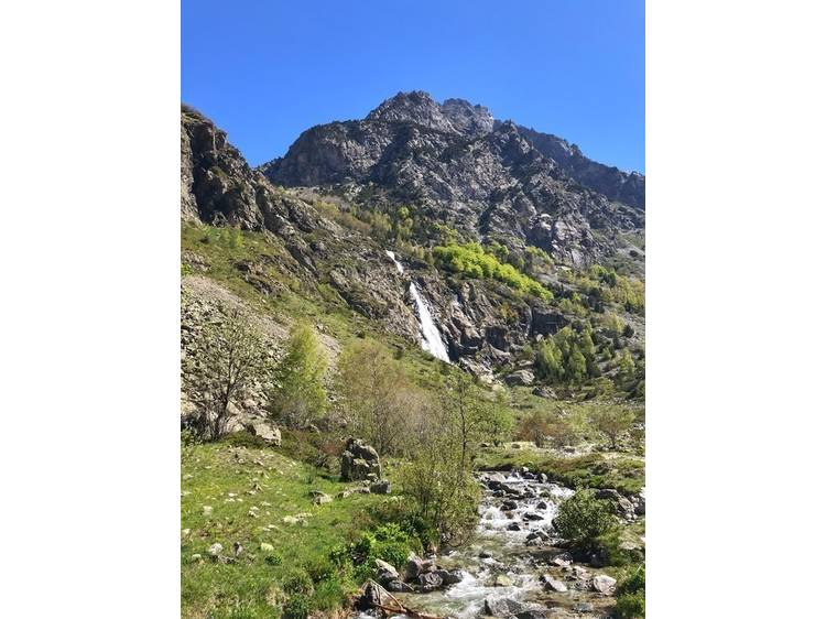
In the heart of the Ecrins National Park, go up the high valley of La Bonne. After crossing the village and pastures lined with rockeries, you will discover wild waterfalls along your path. The valley is U-shaped, characteristic of landscapes shaped by glaciers. At the waterfall of la Pisse, which is 80m high, you can enjoy the site or climb higher to discover the mineral granite landscape at the cabin of La Pisse, with views over the Olan and the narrow valley of Font Turbat. Start from the car park located at the entrance of Désert-en-Valjouffrey. Cross the village, following Font Turbat . Cross the GR 54 by crossing over the La Laisse River on the wood bridge. Take the large path in the pasture along La Bonne . Walk past the waterfall of La Pisse , crossing the La Pisse Torrent.
Track
- Distance:
- 5 km
- Level difference:
- 270 m
- Daily duration:
- 1h 30min
- Level:
- Level green – easy
- Type:
- Round-trip
Equipments
- Not accessible in a wheelchair
- Car park
- Free car park