Visitor alert
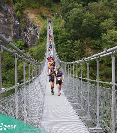
On weekends in June, July and August, this hike is very busy, making it difficult to fully appreciate this extraordinary experience. We advise you to make this loop at the end of the season. For a better experience, we also recommend coming at the beginning or end of the day. The Trail des Passerelles is an event that takes place every year around July 14. It's a huge success, with several thousand participants, so we advise you to avoid coming at this time of year.
Description
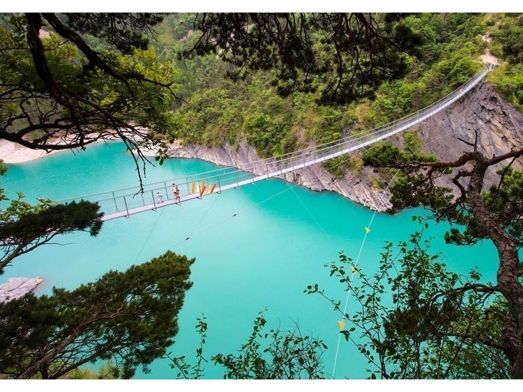
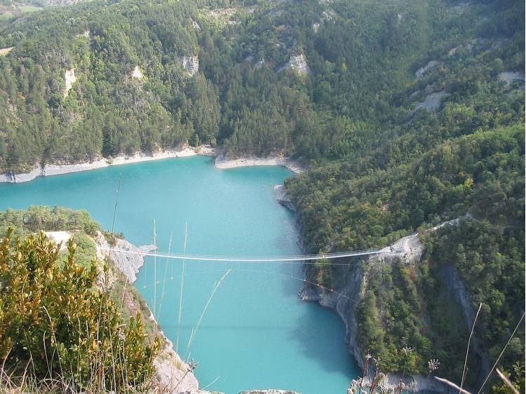
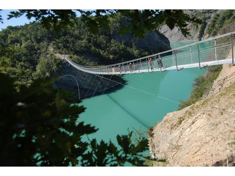
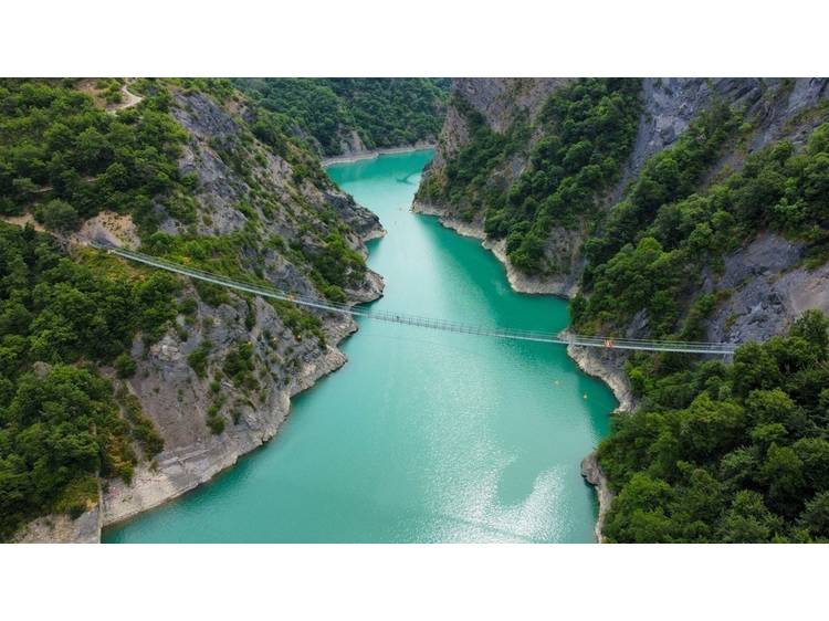
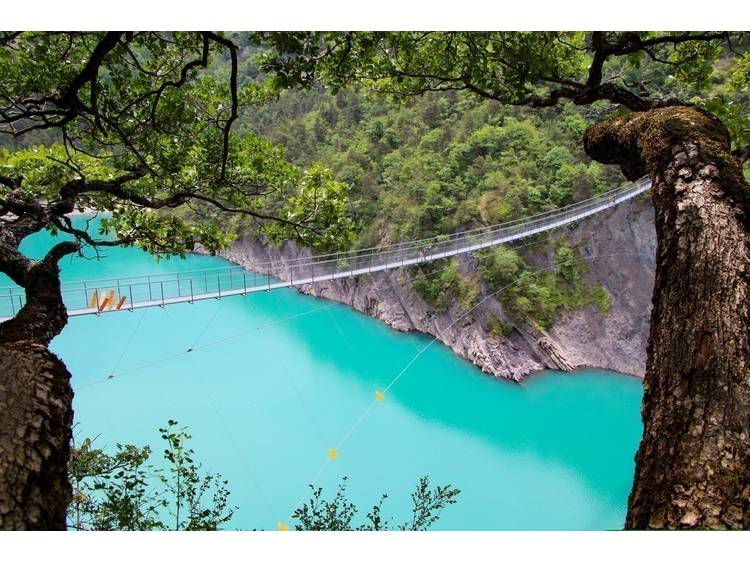
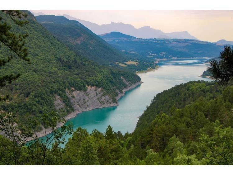
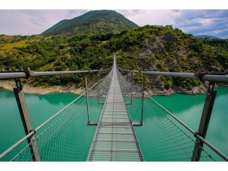
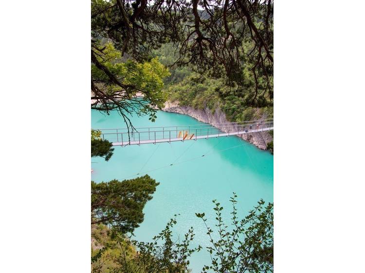
Hike with the scent of adventure, dizzying sensations in dazzling colors, in the heart of a landscape worthy of the Mediterranean.
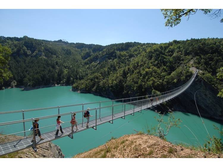
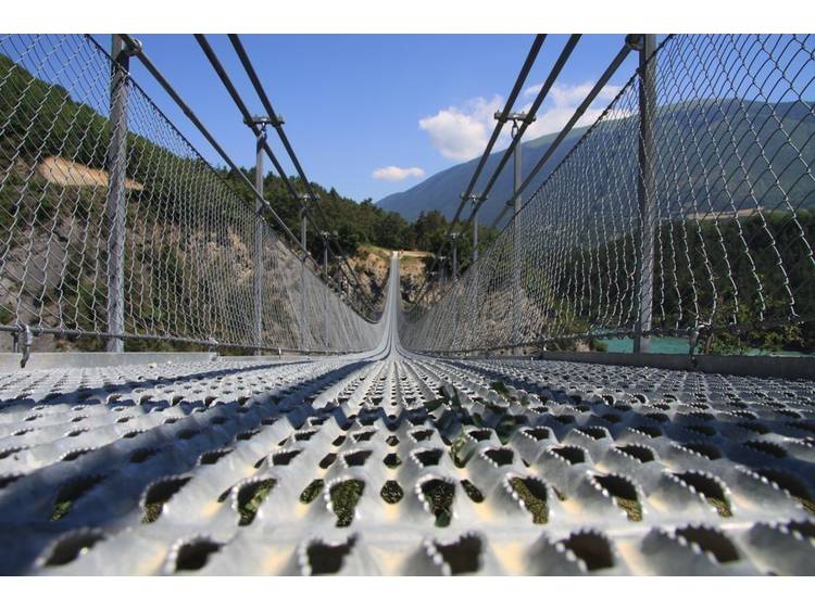
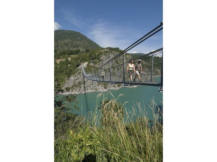
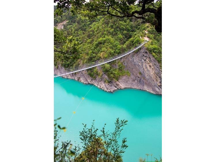
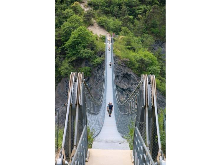
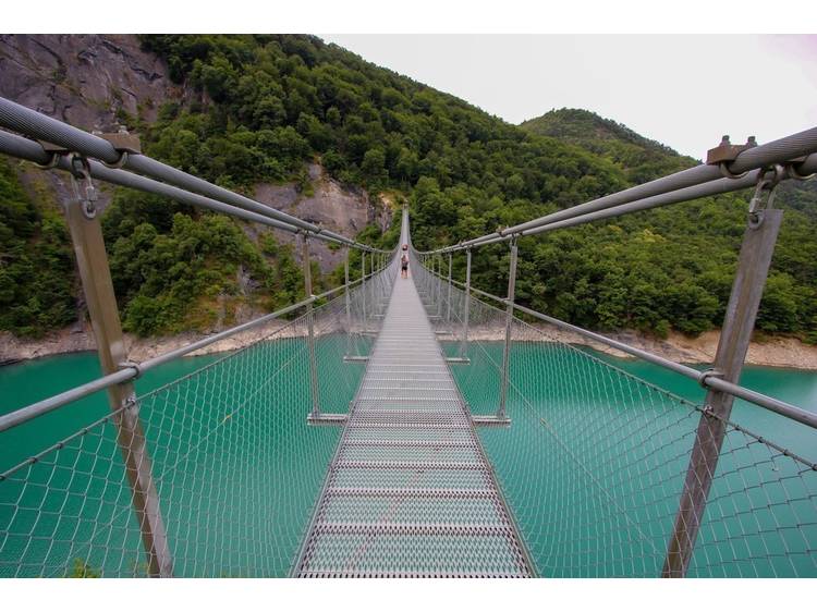
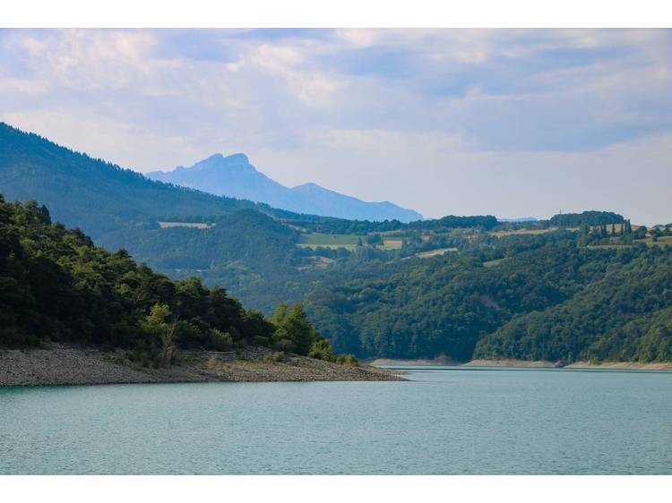
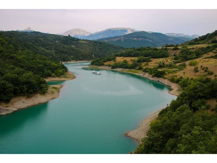
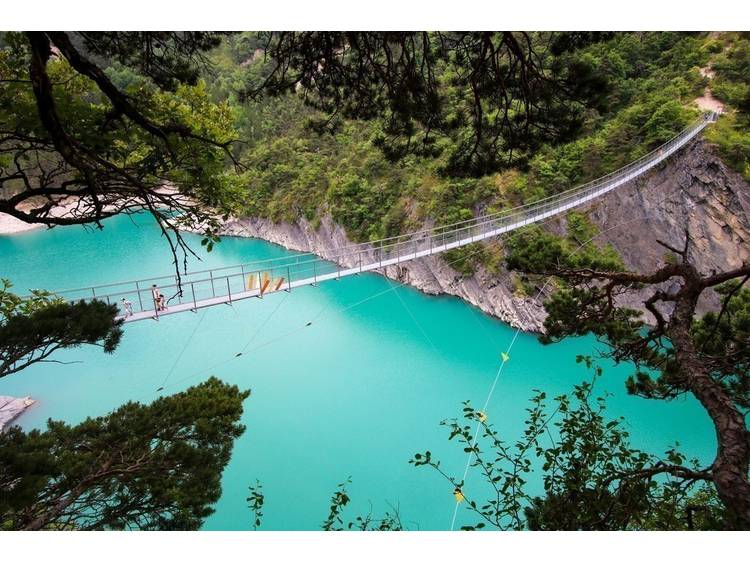
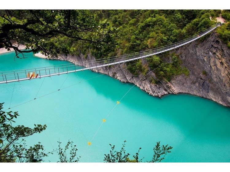
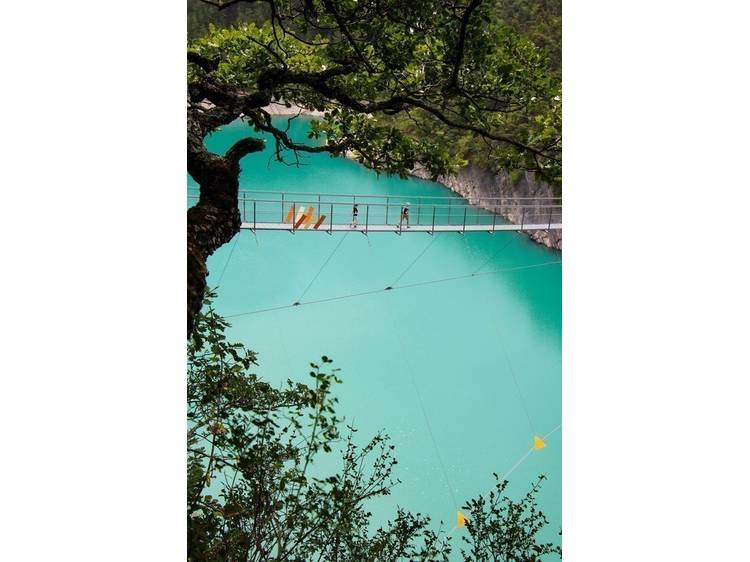
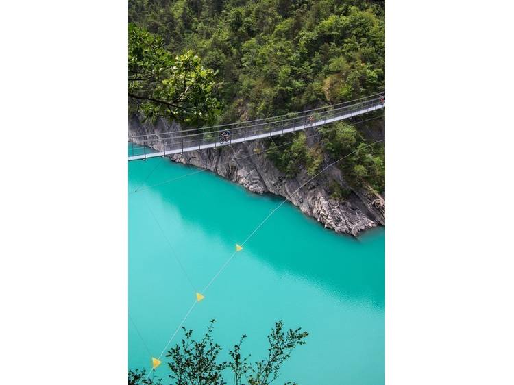
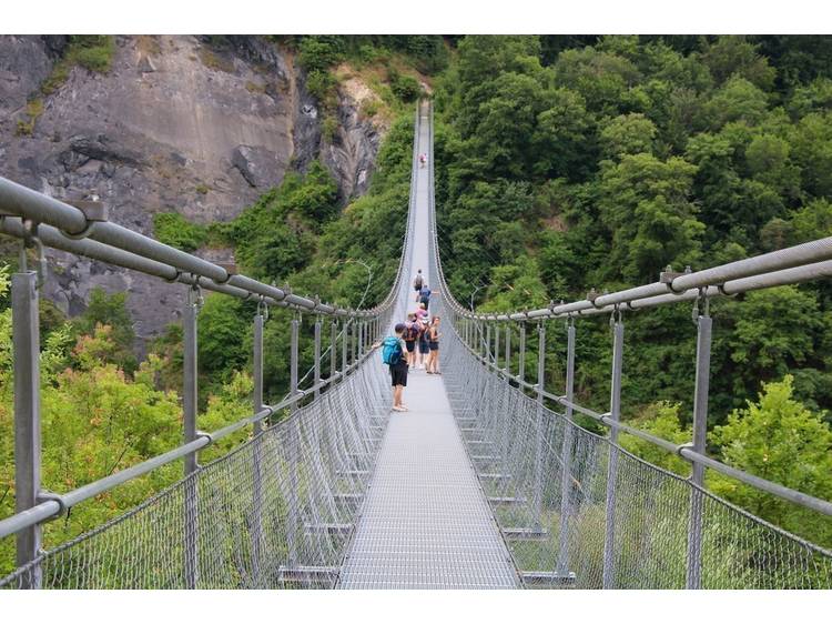
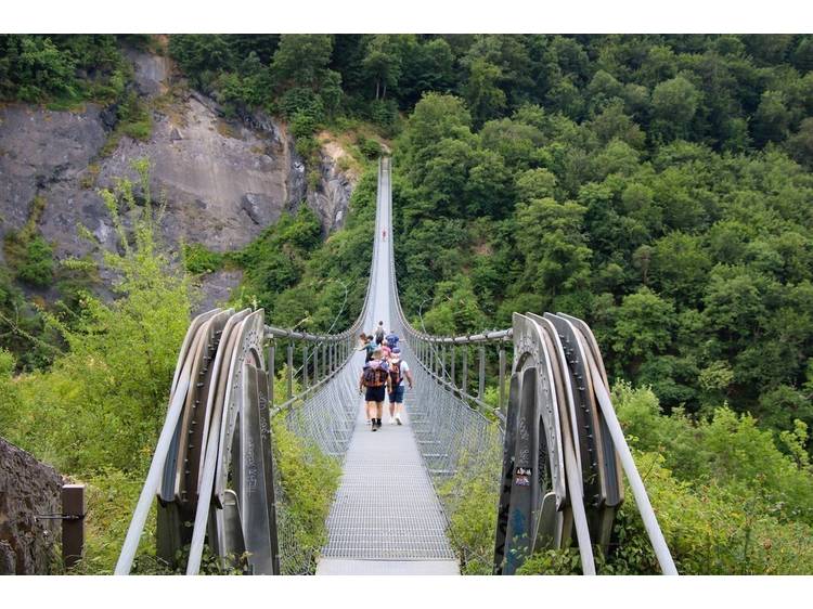
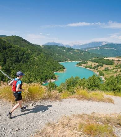
Learn moreWhether you're setting off from Treffort or Mayres-Savel, start your day with a 30-minute guided boat trip to the other side of the river. Then set off at your own pace to return to your starting point via the two footbridges. The Drac bridge is 220 meters long, and the Ebron bridge is 180 meters long. These bridges offer a surprising experience 80 meters above the lake. You'll enjoy an air of the Mediterranean in the heart of the Alps, with the song of the cicadas and the brilliant color of the water.
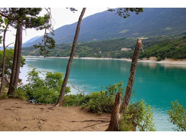
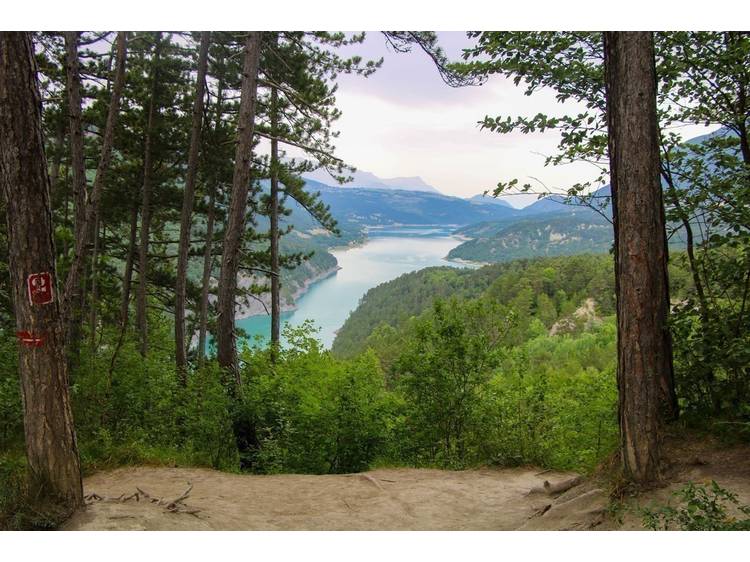
There are several picnic areas where you can relax and enjoy the panoramic view of the lake. Dry toilets are also available along the way.
FREQUENTLY ASKED QUESTIONS
> Are the Himalayan footbridges at Lac de Monteynard-Avignonet open all year round?
>>> Yes, but beware: in wet weather, the trail can be muddy and slippery. On the other hand, the La Mira boat that makes the crossing only sails when the lake level permits (generally from May 1 to September 31, check with La Mira).
>Are there any charges for crossing the Himalayan footbridges at Lac de Monteynard-Avignonet?
>>>The Himalayan footbridges at Lac de Monteynard-Avignonet are free of charge. Parking charges apply from May to October. Boat crossings are not free.
> Do I have to take the boat to hike the Himalayan footbridges at Lac de Monteynard-Avignonet?
>>> No, the boat allows you to cross the lake to make a loop, which means you can hike both footbridges. If you don't want to take the boat, you can leave from the Treffort lakeside parking lots and walk to the Ebron footbridge, then retrace your steps (round trip).
> Is it possible to book the boat on site?
>>> No. The boat can only be booked online via the mira website https://reservation.la-mira.com/booking. Places are limited, so please book well in advance.
> How much does the boat trip cost?
>>> Fares 2022: Over 4s: €8 / Reduced fare: €7 / Under 4s: free
> Are dogs allowed on the Lake Monteynard-Avignonet Himalayan footbridge tour?
>>> Yes, dogs are allowed on both the La Mira boat and the Himalayan footbridges at Lac de Monteynard-Avignonet.
>How long does it take to hike around the Himalayan footbridges at Lac de Monteynard-Avignonet?
>>> The Himalayan footbridges tour of Lac de Monteynard-Avignonet takes around 4h30. The hike is 11.9km long and has a vertical drop of 307m.
>Where to park for the Himalayan footbridges tour of Lac de Monteynard-Avignonet?
>>> You'll need to park in one of the parking lots near the La Mira boat landing stage on the Treffort side of the lake: parking des Combettes, parking de la plage or parking de La Salette.
If you're making the round trip to the Ebron footbridge, you'll want to use the Vignes parking lot.
> Which way should I hike the Himalayan footbridges at Lac de Monteynard-Avignonet?
>>> We recommend that you start by taking the boat at Treffort to cross the lake to Mayres-Savel. You can then reach the Drac footbridge, continue to the Ebron footbridge and return to your starting point. Starting the hike with the boat crossing allows you to walk at your leisure, with no time constraints during the hike!
> What do I need to bring to hike the Himalayan footbridges at Lac de Monteynard-Avignonet?
>>> To hike the Himalayan footbridges at Lac de Monteynard-Avignonet, you'll need to bring ..:
- water (there's only one watering place at the halfway point)
- walking shoes (no flip-flops)
- sunscreen and hat
- a jacket or sweater (the area can be windy!)
> Is it possible to use a baby carriage on the Himalayan footbridges at Lac de Monteynard-Avignonet?
>>> It is not possible to walk around the footbridges in a stroller, but it is possible to make the round trip to the Ebron footbridge by taking the panoramic trail from the Vignes parking lot on the Treffort side. Please note: you'll need an all-terrain baby carriage (big wheels!) as the track is rocky.
Track
- Distance:
- 12 km
- Level difference:
- 350 m
- Daily duration:
- 4h
- Level:
- Walkers/hikers, Level bue - Medium
- Type:
- Loop
Equipments
- Not accessible in a wheelchair
- Sustainable development
- Outhouse
- Car park
- Pay car park
- Public WC
- Pets welcome
- Motorhomes allowed
- Coach access
Situation
Access Treffort from Grenoble RN1075 or A51 freeway, exit 13, then follow signs for Sinard, Treffort, le lac.
Access Mayres-Savel from Grenoble, Route Napoléon, Vizille, Laffrey, La Mure, then D116, to Savel beach.
- Latitude: 44.906771
- Longitude: 5.671660
