Omschrijving
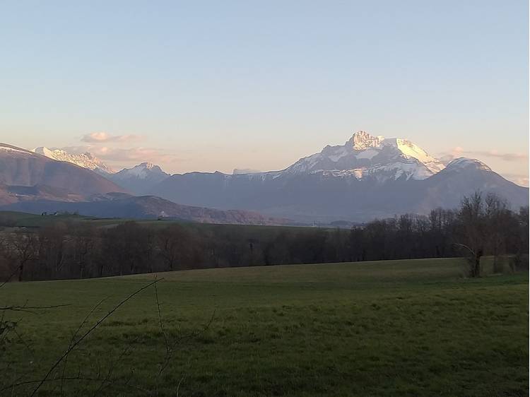
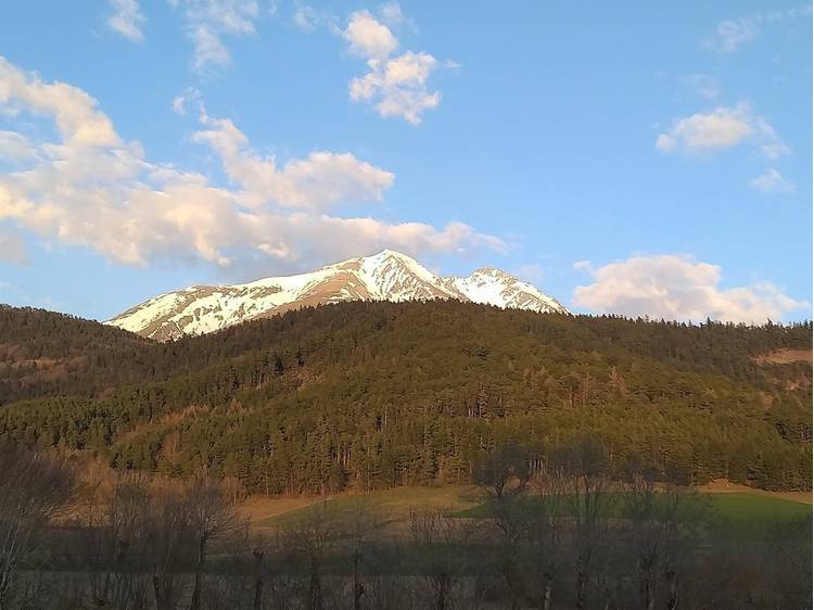
A loop to discover the riches of the plateau, between marshes, bocage and isolated valleys dotted with hamlets.
Voor meer informatieDepartture from Nantes en Rattier towards Col de Malissol, via Le Freynet, Plan du Freynet, La Chaumeta and Combe du Creux.
From there, return to Nantes en Rattier via Les Mais, Croix de l'Orme, Le Mas d'en Haut and Sous Serbouvet.
Discover the ruins of Rattier castle.
Rattier is a word of Celtic origin, deriving from rath or raith meaning hill, high and fortified place.
Parcours
- Afstand
- 7 km
- Dénivelé :
- 150 m
- Dagelijkse tijdsduur
- 2h 15min
- Niveau
- Groen
- Type :
- Boucle
Uitrusting
- Parkeerplaats
- Huisdieren toegestaan

